Collaborator spotlight: FAO of the UN Fisheries Department
The FAO of the UN fisheries department manages over 70 years of statistical data on global fisheries
and aquaculture, and the widely known maps of FAO Major Fishing Areas for Statistical Purposes.
Among its many other activities, it provides accurate and reliable geospatial through its GeoNetwork
and fisheries maps such the Atlas of Tuna and Billfish catches. FAO Director-General Qu Dongyu
recently launched the UN agency Hand-in-Hand Initiative that will use sophisticated tools and
advanced geo-spatial modelling and analysis to identify the best opportunities to improve the
livelihoods of rural populations. As custodian of 21 SDG indicators, FAO has great interest in spatial
data to feed other observational and analytical data-flows, and Geo Blue Planet is seen as an
opportunity to further connect fisheries and aquaculture with the GEO community.
FAO Fisheries department has many activities relevant to SDG 14, Life below water. These include
several projects to improve the publication of fisheries data as geo-data, and to use geo-data to
improve atlases of fisheries and aquaculture. One example is the EU H2020 Flagship Blue Cloud
project, where FAO coordinates two demonstrators; one on fisheries and another on aquaculture.
The Fisheries demonstrator will publish local and global fisheries data in a comprehensive atlas
where fisheries data will be accessible through an ISO/OGC compliant viewer and under several
standards including NetCDF and in its own GeoNetwork. The vision is to enable overlays and analysis
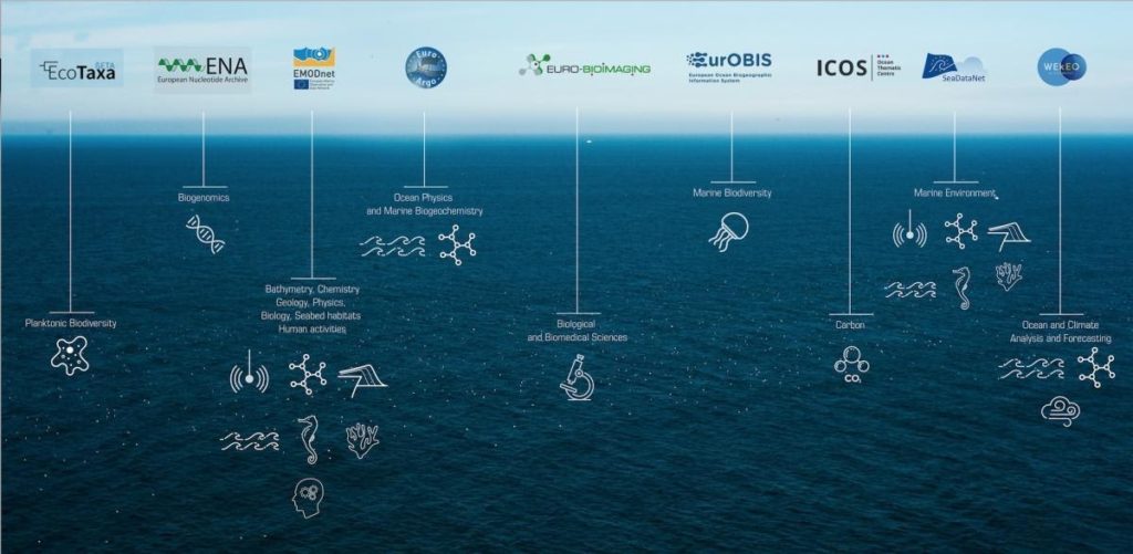
across 10 EU infrastructures such as EMODNet (Bathymetry, Species occurrences, etc) CMEMS
(Copernicus marine data products), and Essential Ocean Variables (Figure 1).
The Global Record of Stocks and Fisheries as a CKAN registry and MapViewer is another tool in this
demonstrator. It provides global harmonized data on stocks and the fisheries that exploit them.
For aquaculture a workflow is established across Copernicus and private VHR image providers to
detect aquaculture locations and activity status, and edit these in an online register of aquafarms
and other detected features to obtain an estimate of seasonal productivity for different areas.
The products are made available in the iMarine infrastructure where users can register for the often
free products. These can e.g. be used for Science 2 experiments, for instance on invasive species
modelling.
All EU funded infrastructure use open-source development where feasible, and strives to be FAIR
compliant. However, as a federator of many organizational deposits, not all data managed by Blue
Cloud are freely accessible.

Figure 1 Blue Cloud Federated Infrastructures