Sargassum Working Group
Background and Rationale
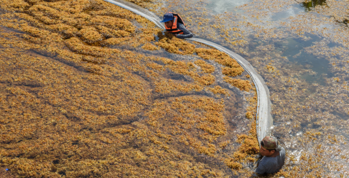
Pelagic Sargassum are buoyant macroalgae that form rafts at the ocean surface and serve as habitat for hundreds of diverse marine species. Since 2011, massive blooms of Sargassum have occurred in the tropical Atlantic and swept through the western tropical Atlantic, Caribbean Sea, Gulf of Mexico, and the west coast of Africa. These recurring events have caused significant disruptions to coastal communities throughout the region, negatively impacting human health, tourism, fishing, navigation, coastal management operations, and nearshore ecosystems, and representing a challenge to national economies and the achievement of United Nations Sustainable Development Goals (SDGs) in the region.
Aerial and land-based data are needed to continuously detect and track the fate of pelagic Sargassum rafts in the regions above, particularly when they are approaching the coastal areas. These data will facilitate the development of accurate early warning systems and provide decision-makers and other users with the tools required to better analyse and mitigate the impacts of Sargassum inundations on coastal communities. Earth observation satellite sensors offer synoptic coverage, the opportunity to enhance Sargassum detection algorithms, and provide near-real-time products (such as areal coverage), which can be applied to operational scenarios. These geospatial datasets can also be integrated in with other data repositories (e.g., citizen science, models and in-situ regional datasets).


