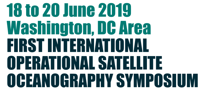
1st International Operational Satellite Oceanography Symposium
What: First International Operational Satellite Oceanography Symposium
When: 18 to 20 June, 2019
Where: College Park, MD, USA
About: Satellite remote sensing of ocean properties is a technology of continuously increasing maturity and scope. Sea surface temperature, sea
surface height, ocean color, sea ice, ocean winds, roughness-derived parameters (e.g., oil spills) and other measurements are now available on
a routine and sustainable basis. Some of these products are integral to operational applications for routine and event-driven environmental
assessments, predictions, forecasts and management. Yet ocean satellite data are still underutilized and have a huge potential for contributing
further to societal needs and the “blue economy”.
The First Operational Satellite Oceanography Symposium aims to enable the understanding the barriers (perceived or actual) and facilitate the
widespread incorporation of satellite ocean observations into the value chain from data to useful information across the range of operational
applications. In this symposium, an international community of satellite operators, information producers and users will exchange facts and ideas
to 1) understand user needs and expectations, and 2) develop interoperability standards and establish best practices that will lead to more universal use of ocean satellite data. Training sessions to facilitate use of satellite data products will be offered.
Abstract Submission Deadline Update: April 12, 2019
https://www.eventsforce.net/eumetsat/frontend/reg/thome.csp?pageID=2179&eventID=7
[dg attachment_pg=”false” paginate=”true” ids=”1694″]

