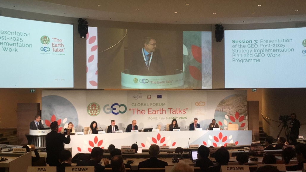
With Earth Intelligence increasingly recognised as a transformative approach to addressing key global challenges, the inaugural Group on Earth Observations (GEO) Global Forum held in Rome, Italy, in May 2025, marked a pivotal moment in advancing this vision. Formerly known as GEO Week, the GEO Global Forum brought together ministers, policy and decision-makers, researchers, private sector leaders, and youth to advance the concept of Earth Intelligence for All
Earth Intelligence means integrating raw data, such as ocean and coastal observations, with Earth and social sciences, advanced analytics, AI, and co-produced knowledge from local and Indigenous communities. In this way, information products become more accessible, understandable, and actionable to decision-makers.
Organised by the Italian Space Agency and the GEO Secretariat, with support from the European Commission DG RTD, the GEO Global Forum explored how Earth Intelligence can help tackle complex global challenges—from food security and disaster risk reduction to ecosystem restoration. With GEO celebrating 20 years this year, this was an exceptional opportunity to gather everyone.
“Our objective remains clear – to supercharge communities and economies, to become resilient, to withstand future tests of time with transformative innovation with Earth Intelligence,” Yana Gevorgyan, Director of the GEO Secretariat, said at the opening plenary session.
As GEO’s coastal and ocean-focused initiative, GEO Blue Planet was actively involved throughout the Forum.
Highlighted at the Plenaries
During the Opening Ceremony, GEO Blue Planet was highlighted as an early foundational Initiative in the GEO family. In plenary sessions, Joanna Drake, Deputy Director General, and Jean Dusart, Policy Officer, both at the DG Research and Innovation at the European Commission, and Luca Vincenzo, Director General at the Italian Space Agency, stressed the importance of the role of the ocean observation system to inform decision making.
A new GEO Blue Planet video highlighting the impact of monitoring and forecasting the Sargassum seaweed to tailor adaption and mitigation responses in the tropical Atlantic closed the plenary sessions. This floating seaweed can form huge, damaging blooms that drift into the coastal waters and onto beaches across the tropical Atlantic, Caribbean Sea, and Gulf of Mexico. From Member States representatives to high-level policy and decision makers, the video gained visibility and was enthusiastically received by the audience composed of GEO’s Member National Governments and Participating Organisations. The video showcases experts on fisheries and marine sciences from universities or NGOs in Barbados and Ghana, presenting how sargassum can be an issue for the environment, human health and local economies. Most importantly, the video highlight how it went from being a local issue to now being a cross-Atlantic challenge requiring international cooperation. The Sargassum Information Hub, a GEO Blue Planet initiative, is also presented as a tool to centralize all information and to bridge the gap between technical experts and policy- and decision-makers.
Bringing Ocean Observation and Prediction to Decision Makers
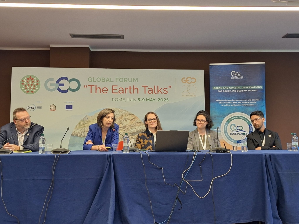
From left to right for caption: Sean Breyer (Esri), Claire Dufau (CLS), Audrey Hasson (GEO Blue Planet), Daphné Lecellier (GEO Blue Planet), and Pedro Ribeiro (Indra).
GEO Blue Planet hosted a Community Event on “Bringing Ocean Observation and Prediction to Decision Makers for the benefit of Society”, spotlighting GEO Blue Planet activities and four of its Working Groups. This session was moderated by Audrey Hasson, GEO Blue Planet’s Executive Director.
First, Claire Dufau from CLS (Collecte Localisation Satellite) spoke about Sargassum monitoring and presented the GEO Blue Planet dedicated Working Group. Dufau also presented their operational sargassum detection and monitoring service to help decision-makers anticipate and respond to Sargassum influxes more effectively.
Next, Daphné Lecellier, GEO Blue Planet Programme Officer based at Mercator Ocean International, discussed a key initiative of the Marine Litter Working Group: IMDOS – the Integrated Marine Debris Observing System. Launched at the 2022 UN Ocean Conference, IMDOS aims to support the development of a global interoperable marine debris monitoring system to benefit the research community, policy and decision-making bodies, and the private sector.
Pedro Ribeiro from Indra (formerly DEIMOS), a member of the Fisheries Working Group, presented both actions of the Working Group and several operational applications of Indra for the fishery sector thanks based on Earth observations. These include route optimization for fisheries operators, safety at sea, reduced impact from bycatch, characterisation of fishing areas by identifying productive areas and detecting ocean fronts, and fishing activity monitoring, among others.
Lastly, Sean Breyer from ESRI discussed the Geo Blue Planet Eutrophication Information Hub developed under the Eutrophication Working Group. Eutrophication in the ocean is the process by which excess nutrients—mainly nitrogen and phosphorus—stimulate an overgrowth of algae, leading to oxygen depletion and harmful impacts on marine ecosystems. In coastal waters, excess nutrients may come from human sources such as agriculture and wastewater. The consequences can be dramatic: fish kills, seagrass die off, loss of coral reefs, health hazards to swimmers and fishers, etc. The Hub collates chlorophyll ocean-related GIS resources in one place so researchers, decision-makers, and others interested in eutrophication can use them.
Connecting at the European Union (EU) and GEO Blue Planet booths
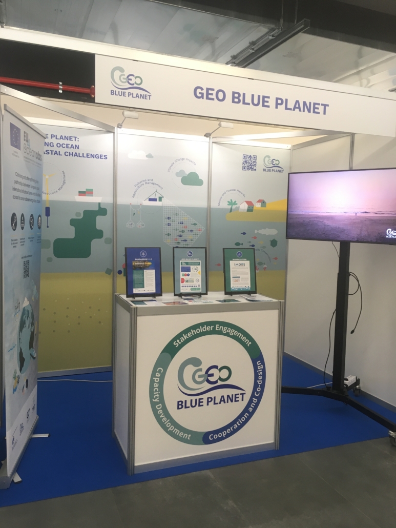
The GEO Blue Planet Booth
At the heart of the GEO Global Forum Exhibition, the EU booth offered a dynamic showcase of over 60 Horizon projects, the European Space Programme, and the EuroGEO Secretariat, featuring presentations, round tables, e-posters, and videos that highlighted innovative Earth observation solutions and services funded by the EU.
In partnership with EuroGEO, the European regional coordination platform of GEO, GEO Blue Planet coordinated a session on its EU Marine and Coastal actions. The session saw talks from Mikko Strahlendorff (Finnish Meteorological Institute) on the Arctic GEOSS development by the Arctic Passion project, Bente Lilja Bye (BLB) on the thematic and Local Twins of the Ocean, Audrey Hasson (GEO Blue Planet) on the Sargassum Information Hub, and Daphné Lecellier (GEO Blue Planet) on the Integrated Marine Debris Observing System (IMDOS).
Throughout the forum, attendees also had the opportunity to learn more about GEO Blue Planet at a dedicated exhibition booth. The booth showcased a series of videos highlighting recent achievements and developments, and introduced GEO Blue Planet’s flagship projects on Marine Litter and Sargassum. It also served as a dynamic space for attendees to meet and discuss with new partners from GEO branches all over the world.
Community Session panel discussions
GEO Blue Planet Executive Director Audrey Hasson also shared insights on the need for ocean observation and prediction-based information for decision makers at two community sessions.
At the “Copernicus: Earth Observation Services in Support of EU Policies, Market Uptake and Broader Earth Intelligence” session, discussions focused on the benefits of Copernicus, the Earth observation component of the European Union’s Space programme. Alessandra Zampieri (DG JRC, European Commission) opened the discussion, followed by a keynote from Mauro Facchini (DG DEFIS, European Commission). Alongside Audrey Hasson, the session heard from Daniel Sanchez (Undersecretary, Information Management and Risk Analysis, Ecuador) on AmeriGEO and Copernicus in disaster preparedness and response, and Vincent-Henri Peuch (ECMWF) on Copernicus Services. Vasileios Kalogirou (EUSPA) spoke about Earth observation market uptake; Erwin Goor (REA, European Commission) on EuroGEO action groups and selected Horizon Europe research projects; and Andrea Taramelli (IUSS, Italy) on Copernicus policy support and partnerships. Benefits discussed include supporting EU policies, promoting market uptake of Earth Observation, its contribution to Earth Intelligence, and strengthening cooperation between Copernicus and GEO.
The session entitled “Assessing the Impact of EO Solutions and Mapping Future Benefits, Needs and Requirements” introduced the GEO Impact Assessment Toolkit. Developed by GEOValue, the Toolkit will support GEO Initiatives in evaluating and communicating the societal, environmental, and economic benefits generated from their Earth Observation-based solutions. with an introduction and context from a GEOValue representative, followed by Alessandra Tassa (ESA) presenting the EO (Earth Observation) Impact Assessment Toolkit for GEO, and Christina Griffin (Australian National University) speaking on impacts on society. The first panel discussion, Geoff Sawyer (EARSC) with representatives from GEOGLAM (Group on Earth Observations Global Agricultural Monitoring Initiative), GEO LDN (GEO Land Degradation Neutrality Flagship), and Audrey Hasson from GEO Blue Planet, focused on using impacts to demonstrate the benefits of GEO initiatives. The second panel discussion with GEO members, moderated by Mark Dowell (DG JRC, European Commission), and Using impacts to assess future needs of GEO, explored using impacts to assess future needs of GEO. The session concluded with closing remarks from the GEO Secretariat.