How can Europe ensure that marine and coastal Earth observation data reaches the people who need it and supports practical decision-making?
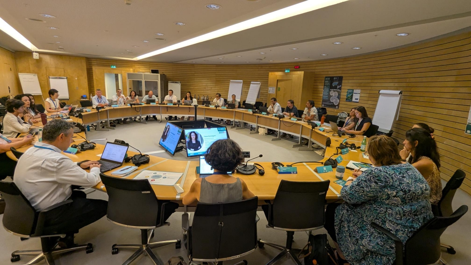
That question shaped the first EuroGEO Marine and Coastal Action Group Workshop, held on 6-7 July 2026 at the GEO Secretariat at the World Meteorological Organization (WMO) in Geneva. The event brought together 29 participants from 21 organisations, representing 24 EU-funded projects, programmes and initiatives.
Data collection to action
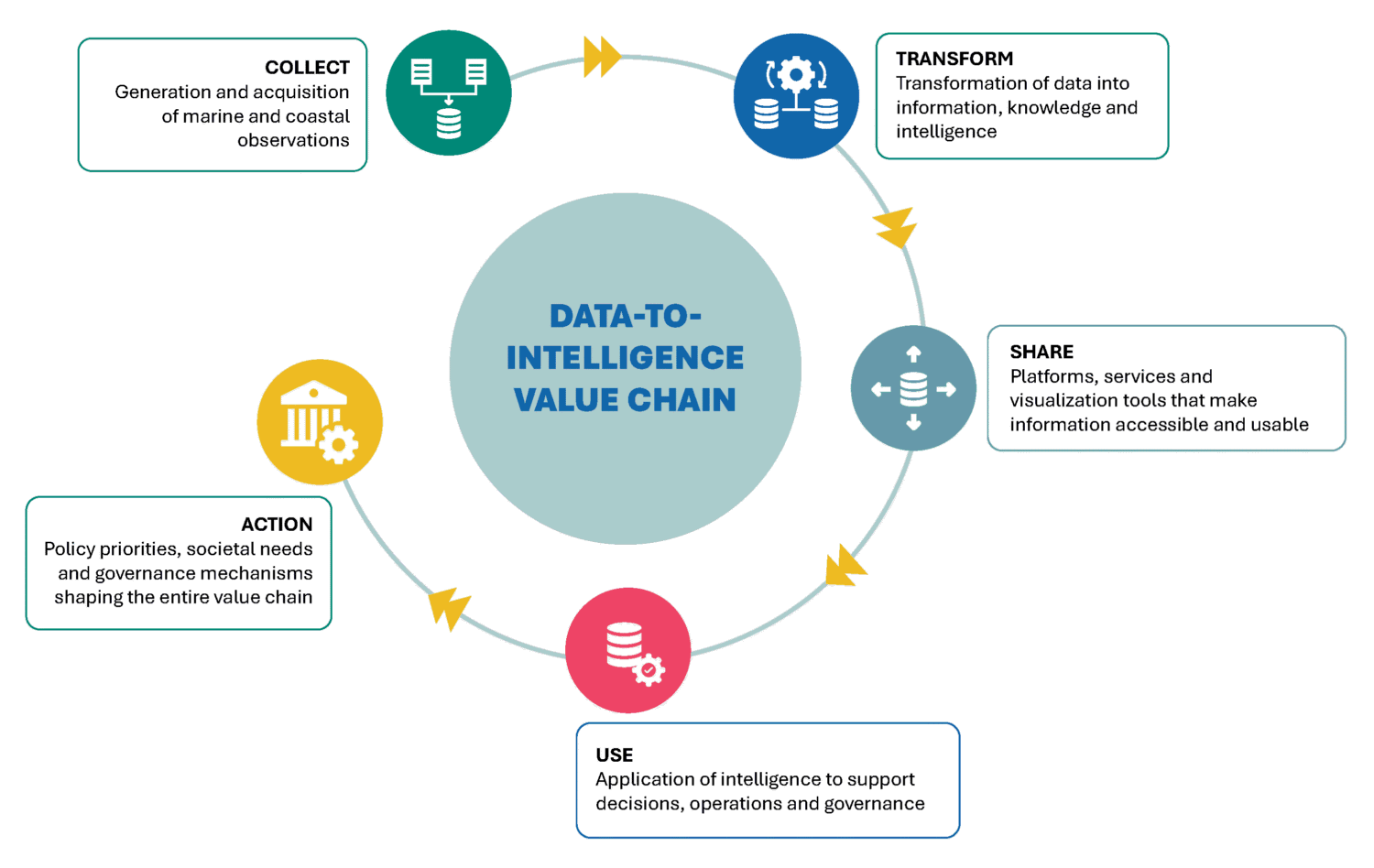
The Data-to-Intelligence value chain was used as the common framework for the workshop. A pre-workshop survey mapped how participating projects contributed to different components of the value chain, helping to showcase the different approaches represented across the community and inform the group discussions.
The two-day workshop officially launched the EuroGEO Marine and Coastal Action Group’s work to identify common priorities and shape a roadmap for turning marine and coastal Earth observation data into information that supports decision-making. The Action Group operates under EuroGEO, Europe’s regional initiative within the Group on Earth Observations (GEO) and is led by the EU offices of GEO Blue Planet and GEO AquaWatch.
Contributions from the GEO Secretariat, the European Commission, GEO Blue Planet, GEO AquaWatch, and European marine and coastal projects placed the discussions within the wider EU policy context. Speakers also examined developments across Europe’s digital ocean landscape and shared lessons on sustaining coastal intelligence services beyond the project lifetimes. How to make data still available and accessible when projects end? This was one of the questions tackled by the participants.
Project pitches illustrated how different initiatives are putting the data-to-intelligence approach into practice, from collecting and transforming observations data to sharing information, supporting users, and enabling action, while group discussions were conducted on common gaps, challenges, and needs across EU projects.
Participants worked together to identify priority areas for cooperation and recommendations to improve the uptake, integration, and long-term sustainability of the data-to-intelligence value chain. These discussions provided the basis for the emerging EuroGEO Marine and Coastal Action Group Roadmap.
Connecting Europe’s existing capacities
Participants noted that Europe already has strong marine and coastal Earth observation capabilities, including observing systems, forecasting services, research projects, modelling tools, digital platforms, and specialist communities. However, these activities often operate across different funding periods, technical systems, and institutional structures.
To resolve this issue, participants called for closer coordination between projects, operational services, research infrastructures, and user communities. Rather than creating another standalone network or platform.
Moving research into sustained services
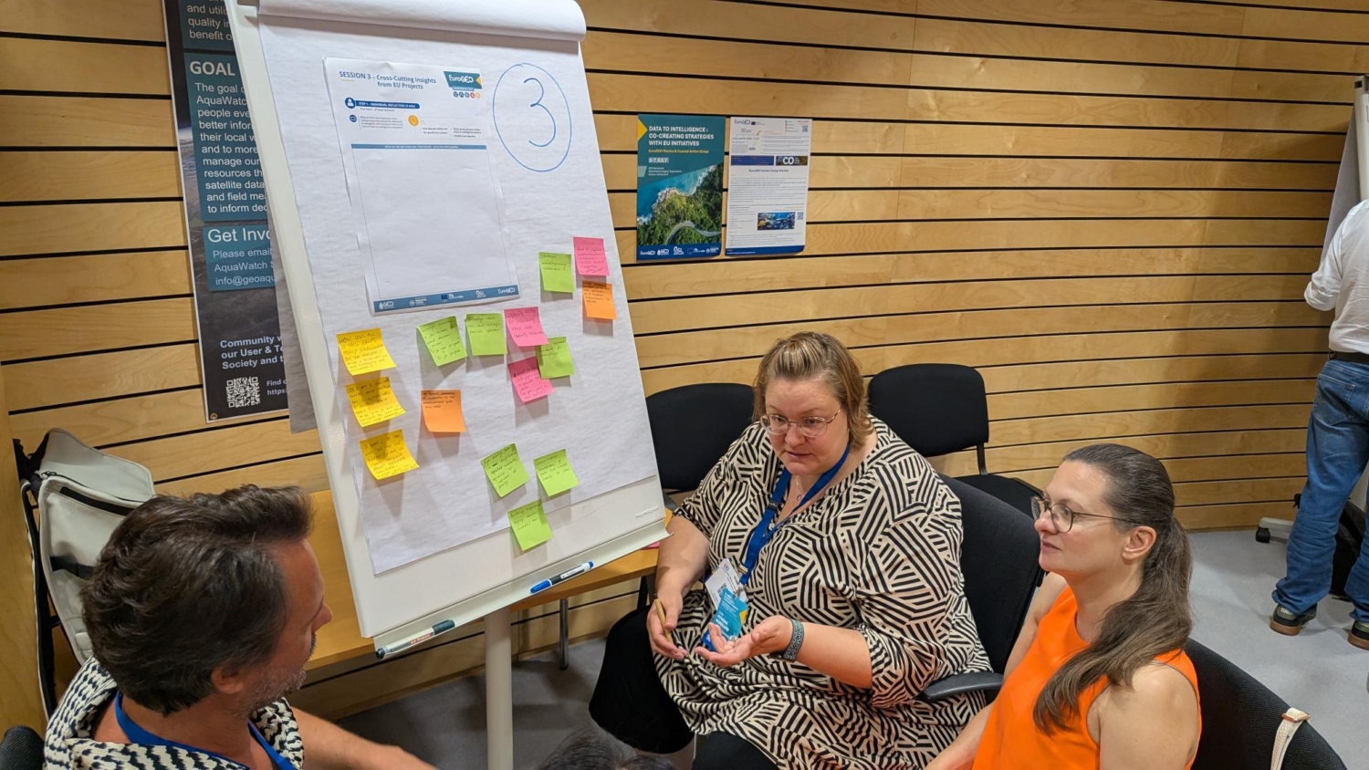
A recurring concern revolved around the challenge of ensuring transition from research results into operational services as well as maintaining useful products after research funding ends. European projects develop datasets, methods, models, and products, but continued use depends on clear user demand, technical compatibility, stable infrastructure, sustained financing, and an organisation willing to take responsibility for maintenance.
Participants also discussed stronger links with established European capacities, including EMODnet, the Copernicus Marine Service, and the European Digital Twin of the Ocean. These connections could help suitable research outputs remain accessible and useful beyond the lifetime of individual projects.
Making systems work together
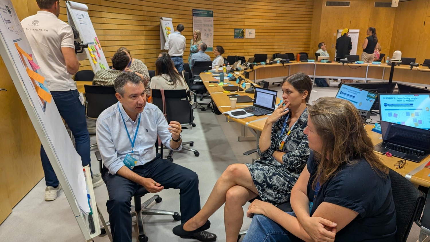
Participants identified interoperability as an essential condition for a connected European Earth observation ecosystem. This includes using common standards, applying FAIR data principles, improving metadata, harmonising methods, and enabling observations, models, platforms, and services to work together.
The discussions also emphasised better integration of Europe’s existing systems rather than the creation of additional standalone tools. Greater technical and organisational alignment could help data and services move more effectively across the full data-to-intelligence value chain and support wider uptake.
Centering users
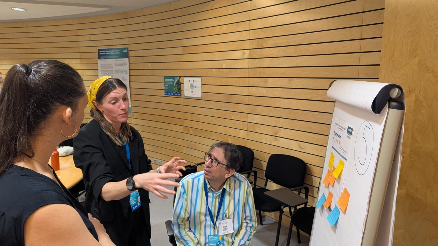
Participants stressed that marine and coastal Earth observation activities should respond to user needs rather than technology alone. Policymakers, marine managers, researchers, businesses, and coastal communities need information that is timely, understandable, and suited to their decisions.
Co-design can help ensure that products and services address real contexts and deliver practical value. At the same time, participants recognised growing stakeholder fatigue caused by repeated consultation requests across projects. Better coordination, clearer explanations of how contributions will be used, and more efficient engagement could reduce this burden and make participation more worthwhile.
From evidence to action
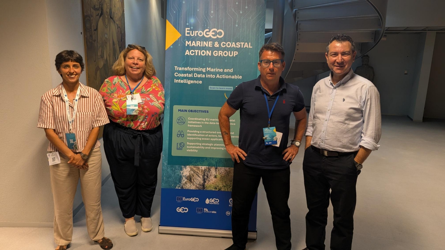
From left to right : Alexandra Rosa (GEO Blue Planet, Mercator Ocean International), Merrie Beth Neely (GEO Aqua Watch), Federico Fierli (European Commission), Hakki Erdogan (GEO Secretariat)
Participants recognised that progress in collecting and transforming observations does not automatically lead to action. Turning evidence into policy, operational decisions, and practical responses remains a major challenge across the data-to-intelligence value chain.
Stronger dialogue between scientists, operational organisations, policymakers, and users is needed so that information is understood, trusted, and applied in real decision-making contexts. Better connections between these groups could help ensure that marine and coastal Earth observation informs decisions more consistently.
Long-term sustainability requires governance
Participants agreed that marine and coastal Earth observation services can deliver lasting value only when governance keeps pace with technology. Long-term sustainability requires clear institutional responsibilities, operational ownership, continued stewardship, reliable financing, and active coordination between organisations and users. These arrangements determine who maintains a service, how it develops, and how it remains responsive after project funding ends.
Discussions highlighted the role of governance as a core condition for operational continuity, rather than a separate administrative concern, and as essential to sustaining collaboration and scaling useful services across Europe.
Priorities for a roadmap

The priorities identified throughout the workshop – stronger coordination, better interoperability, stronger science-policy interfaces, closer links between research outputs and operational services, more effective user engagement, and sustainable governance, will now inform the EuroGEO Marine and Coastal Action Group Roadmap for 2026–2027.
“One of the key messages from the workshop was that producing high-quality Earth observation data is only part of the challenge,” said Victoria Persson, EDITO Representative, Coordinator of DTO Application Projects at Mercator Ocean International. “As a community, we need to do more to engage the end users of this information, from local authorities to coastal practitioners and fisheries stakeholders, and ensure that data, digital infrastructures, and initiatives such as the Digital Twin Ocean translate into informed decisions and tangible benefits for the ocean.”
The next steps include consolidating the workshop findings, defining collaborative activities and partnerships, establishing regular coordination, and presenting a draft roadmap for community feedback.
We would like to thank the speakers and contributors who helped frame the discussions: Yana Gevorgyan (GEO Secretariat Director); Alexandra Rosa (Mercator Ocean International and the GEO Blue Planet EU Office); Representative from GEO Aqua Watch; Federico Fierli (European Commission Directorate-General for Research and Innovation); Olivia Fauny (NECCTON); Gonéri Le Cozannet (CoCliCo); and Nadia Pinardi (CoastPredict);
We also thank the project representatives and participants who shared their experience across the data-to-intelligence chain: Toste Tanhua (BioGeoSea); Gianluca Ferraro (BlueGreen Governance); Viviana Piermattei (CS-MACH1); Maurizio Pierini (Edge SpAIce); Carlo Brandini (AMIS); Joséphine Broussin (BIOcean5); Pablo Molina (ECoSS and EFFECTIVE); Aurélie Dehouck (ESA Coastal Blue Carbon); Tiago Garcia (SEACLIM); Lara Veylit (SEADOTs): Victoria Persson (EDITO); Sophie Jensen (BioProtect); Patrycja Antosz (SURIM); Tania Montoto Martinez (BlueActionAAA); Lina Mtwana Nordlund (BioEcoOcean); Joanna Staneva (FOCCUS); Belén Martín Míguez (iClimateAction); Enrico Chesta ( Edge SpAIce); and Hakki Erdogan (GEO Secretariat).