Fisheries feed billions of people and support coastal economies around the world. Yet overfishing, illegal and unreported catches, and a rapidly changing climate are putting those resources under mounting pressure. Ocean data, including satellite observations, in situ measurements, and modelling, can help fisheries managers monitor marine ecosystems, understand changing conditions, and plan more sustainable management responses.
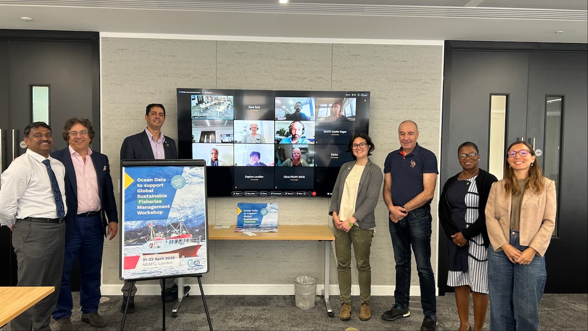
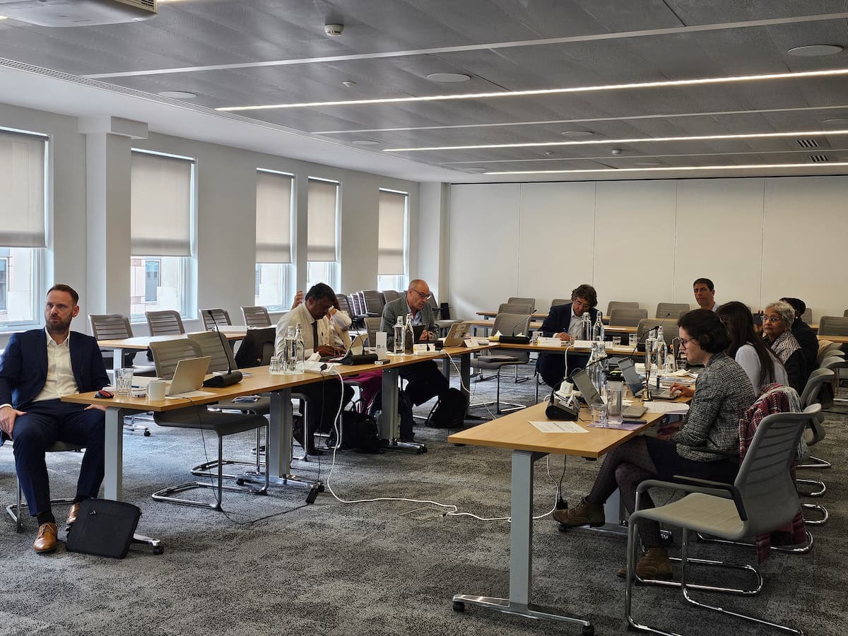
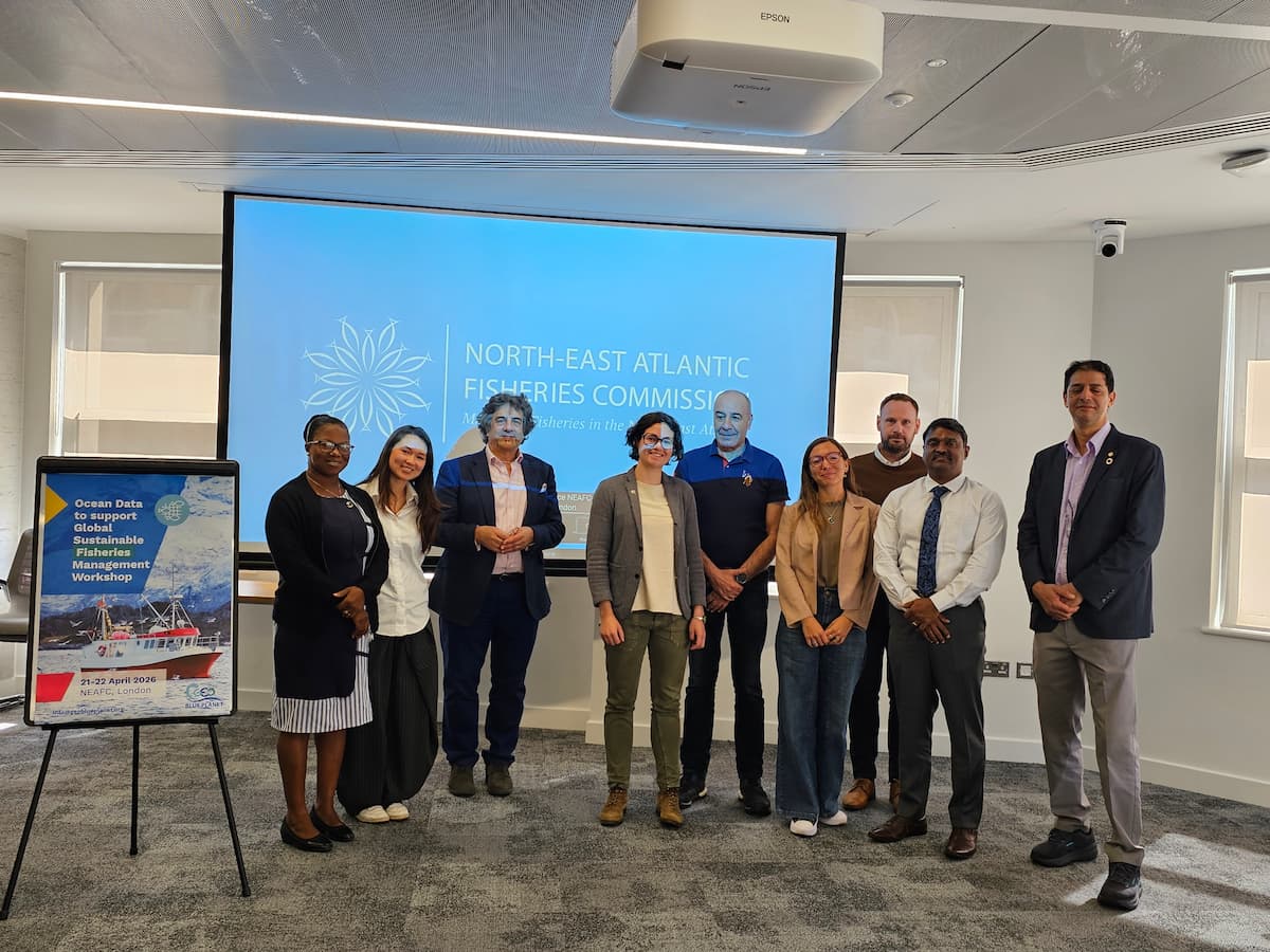
Putting ocean data into action was the focus of a 1.5-day workshop held in April 2026 at the North-East Atlantic Fisheries Commission (NEAFC) in London and online. Convened under the GEO Blue Planet Fisheries Working Group, the event brought together scientists, policymakers, and fisheries managers from across the globe to discuss how ocean data can be used more effectively in fisheries decision-making.
Setting the tone
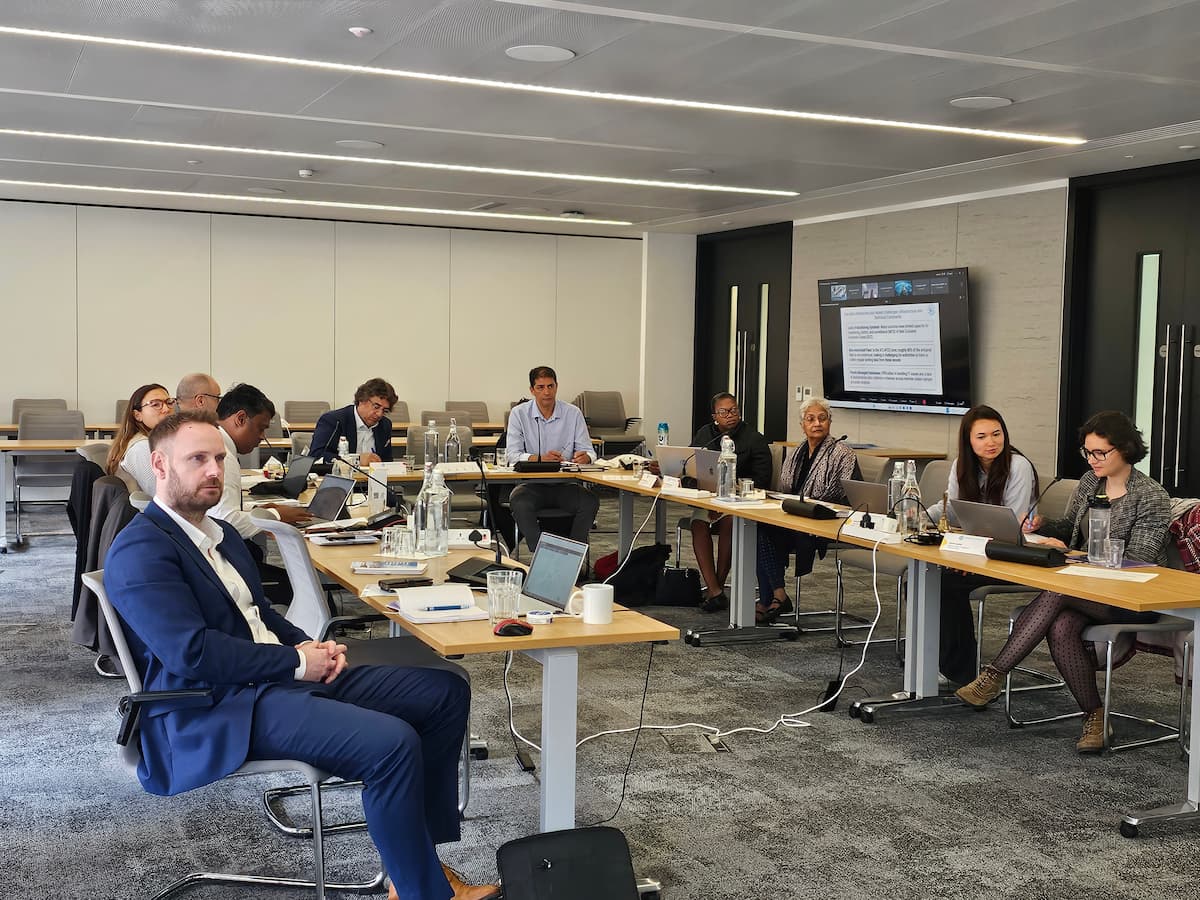
Workshop co-chair Dr Darius Campbell (NEAFC) opened the workshop by introducing the Regional Fisheries Bodies Secretariats Network – a global community of around 50 organisations that meets informally every two years. Dr Audrey Hasson, Executive Director of GEO Blue Planet, discussed unlocking the full potential of FAIR (findable, accessible, interoperable, and reusable) and globally accessible ocean data, noting that making better use of ocean data and turning it into actionable intelligence is key to addressing fishery sustainability challenges. Dr Pierre-Yves Le Traon (Mercator Ocean International) also addressed participants, adding further scientific context to the workshop’s ambitions.
What the science can do
Much of the workshop discussions explored the expanding potential of ocean observation and modelling.
GEO Blue Planet Fisheries Working Group and workshop co-chair Dr Pedro Ribeiro (Indra) discussed the specific challenges faced by Small Island Developing States, where less than one per cent of national territory may be land. Monitoring and managing such large ocean areas requires extensive observation and surveillance capacity, including satellite-based systems.
Dr Stefano Ciavatta (Mercator Ocean International) demonstrated how models could support management decisions. In particular, running “what-if” scenarios could help managers assess options such as seasonal closures before committing to them. Dr Shubha Sathyendranath (Plymouth Marine Laboratory) showed how Ocean Observation can track primary production, sea surface temperature, and ocean fronts across large areas and over time.
Focusing on the relationship between climate and fisheries systems, GEO Blue Planet Fisheries Working Group and workshop co-chair Dr Hassan Moustahfid (NOAA) referred to climate change as an “invisible manager” reshaping fish stocks and ecosystems, whether fisheries bodies account for it or not. He also stressed that fishermen themselves are an important source of environmental knowledge.
Voices from the regions
Throughout the workshop, regional perspectives highlighted the practical challenges of using ocean data for fisheries management.
For ATLAFCO – a network of 22 countries, Dr Abdennaji Laamrich pointed to a data quality problem. Actual catches in his region are estimated to be between 1.6 and 4 times higher than officially reported figures. Without reliable catch data as a baseline, even the best ocean models can only go so far. He also flagged inadequate IT infrastructure, limited training, and the need for socio-economic data alongside environmental information.
The compounding pressures of IUU fishing and weak enforcement were front and centre for Dr Hannah Kyeraa Ansah (FCWC), who stressed the urgent need to move towards digital monitoring and surveillance systems. From the South Atlantic, Dr Micaela Giorgini of INIDEP noted that cloud cover significantly limits what satellite remote sensing can deliver in her region.
The Indian Ocean Marine Atlas Project, introduced by Dr Genevieve Phillips (IOTC), offered one example of how regional bodies are beginning to build the infrastructure for better data use. Across the discussions, Dr Krishnan Paulpandian (BOBP-IGO) stressed that data alone will not support sustainable fisheries. Ocean literacy also has an important role to play.
From data to practical implementation
Across the breakout discussions, participants focused less on technology itself and more on how ocean data can realistically support decision-making in different regional contexts. A recurring point was that there is no universal set of “essential” data. Priorities depend heavily on local ecosystems, fisheries, and institutional capacity.
Participants also noted that, for some fisheries, the most urgent information gaps are not environmental at all, but socioeconomic, including basic knowledge of fleet activity and the number of people dependent on fisheries.
The discussions also reinforced that ocean data has applications extending beyond fisheries management alone. Forecasts of storms, pollution events, and harmful algal blooms, for example, can also support safety at sea and help coastal communities prepare for environmental risks.
Several possible follow-up activities and regional pilot collaborations were discussed, including in the Indian Ocean and Bay of Bengal, as well as West Africa and potentially the wider South Atlantic. Participants highlighted the importance of pairing technical development with capacity building, knowledge exchange, and stronger collaboration between scientists, fisheries bodies, and managers.
Thanks to the participants
GEO Blue Planet would like to thank all the speakers and participants for their contributions to the workshop. The discussions benefited from a wide range of perspectives, reflecting the diversity of regions, organisations, and expertise involved in advancing the use of ocean data for fisheries management.
Participants included representatives from the Food and Agriculture Organisation (FAO), SEAFO, Comisión Técnica Mixta del Frente Marítimo (CTMFM), BOBP-IGO, the Indian Ocean Tuna Commission (IOTC), COMHAFAT/ATLAFCO, the Fisheries Committee for the West Central Gulf of Guinea, the National Institute of Fisheries Research and Development (INIDEP), and the Caribbean Regional Fisheries Mechanism (CRFM).